
|
|
||
06/10/11 |
|
|
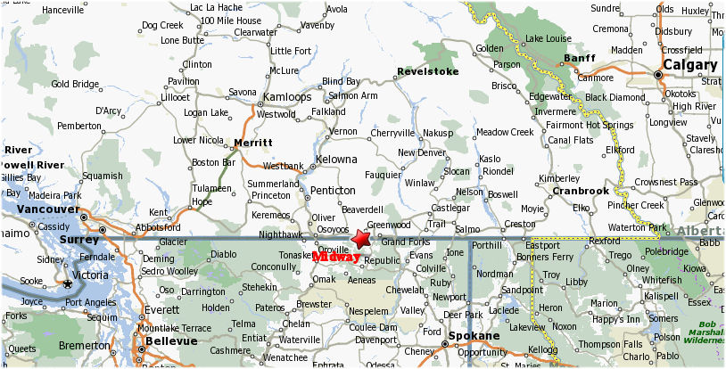
Provincial Map
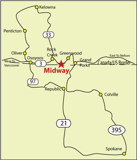
Regional Map
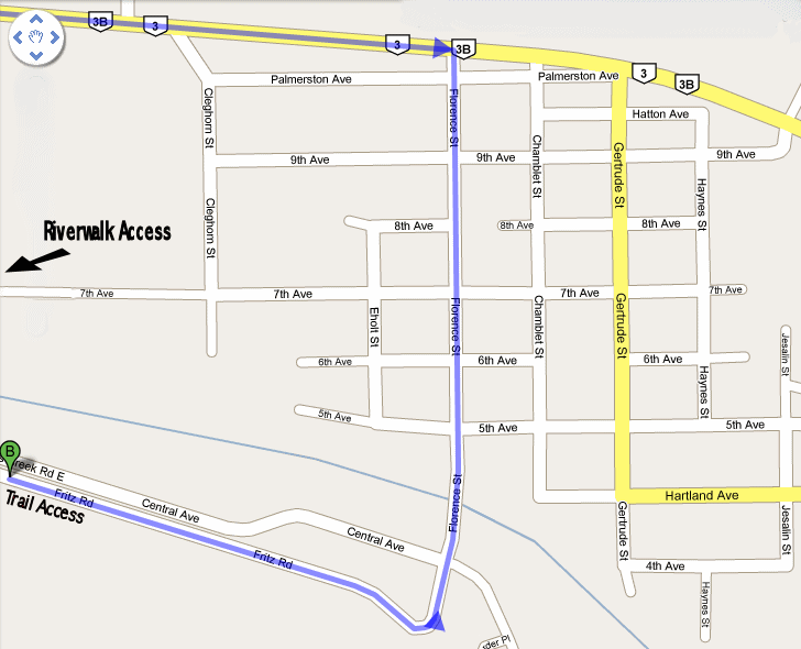
Village Map
To access the trails on the mountain turn South off of Highway # 3 on to Florence Street drive past the grocery store, post office cross the bridge and drive the end of the road turn right (West) on to Fritz Road. The first Trailhead is ~500m along that road. There is another approximately another km west. To access the river trail turn South off of Highway # 3 on to Florence Street drive past the grocery store, turn right (West) on to Seventh Ave and drive to the end. Park behind the airport hanger buildings and walk through the gate at the end of the road. The trail cuts diagonally across the field to the river. If hiking or biking the Trans Canada Trail West of Midway you can also access the trail just east of the sawmill yard before the TCT crosses the highway. Trail Maps
|
This site was last updated 01/08/11
.jpg)
.jpg)